The $3million Timber Region Transition Grant (TRTG) is the final grant on offer as part of the WA Government’s 80 million Native Forest Transition...
Vous n'êtes pas connecté
- English
- Français
- عربي
- Español
- Deutsch
- Português
- русский язык
- Català
- Italiano
- Nederlands, Vlaams
- Norsk
- فارسی
- বাংলা
- اردو
- Azərbaycan dili
- Bahasa Indonesia
- Հայերեն
- Ελληνικά
- Bosanski jezik
- українська мова
- Íslenska
- Türkmen, Түркмен
- Türkçe
- Shqip
- Eesti keel
- magyar
- Қазақ тілі
- Kalaallisut ; kalaallit oqaasii
- Lietuvių kalba
- Latviešu valoda
- македонски јазик
- Монгол
- Bahasa Melayu ; بهاس ملايو
- ဗမာစာ
- Slovenščina
- тоҷикӣ ; toğikī ; تاجیکی
- ไทย
- O'zbek ; Ўзбек ; أۇزبېك
- Tiếng Việt
- ភាសាខ្មែរ
- རྫོང་ཁ
- Soomaaliga ; af Soomaali
 Maroc - TIMBERBIZ.COM.AU - A La Une - 14/Aug 00:31
Lidar changing workflows in forestry
Since the invention of lidar in the 1960s, its usage has continued to expand, with the last couple of decades in particular marking significant upticks in use cases. Today, it is still most associated with the automotive and surveying industries, with most manufacturers in the former category using the technology as part of its autonomous driving toolkit. Source: GeoWeek News Surveying, of course, was among the early adopters of the technology, using its capabilities to calculate terrain elevation more precisely and efficiently than they’d ever been able to previously. As laser scanning technologies of all kinds, be it terrestrial, airborne, UAV, or mobile, become more democratized, new industries are able to test these tools and determine the value they can provide in these new sectors. Over the last decade or so, the forestry industry has become a prime example of this phenomenon, starting a new subsection of the industry often referred to as “digital forestry.” Big news came down in this digital forestry space last month, specifically in North America, with the announcement that Barr GeoSpatial Solutions (BGS)had acquired Forsite Consultants. In their release of the news, BGS says that Forsite being part of their group will provide them “the resources and market access to allow the expansion of our technology product offerings across North America and around the world.” Recently, Geo Week News spoke with Cam Brown, manager of resource management and technology with Forsite, and Mark Corrao, Chief Innovation Officer with Northwest Management, Inc. (also part of BGS), about the digital forestry space and what lidar has added to the overall industry. Although Brown’s work is generally in Canada – though Forsite does work on projects in the United States as well – while Corrao’s is generally in the US, they unsurprisingly each work on similar types of projects and have similar tellings of how lidar started to take hold of the industry. Corrao tells GeoWeek News about key products used by his team, including ForestView – the complete package of software tools offered by Northwest Management that “takes a Lidar scan, field work, publicly available data, client historic data and produces valuable decision-support tools for multiple industries that work with natural landscapes.” More broadly, what each of these industry veterans relay is a similar process as to how Lidar has taken hold in other industries, including traditional ones like surveying. Essentially, they are using remote sensing to more efficiently and effectively complete projects that would have taken many man hours and, as a result, much higher costs. Mostly using crewed aircraft, they are flying over relevant portions of forests and using lidar to collect point clouds for individual trees –as well as the terrain underneath them. From there, they are able to utilize machine learning capabilities developed by Forsite to predict the types of trees and other relevant attributes. “You have a known height [measured from the point cloud], you predict the species, and based on the height and a bunch of metrics and the species, you predict the diameter of the tree at the base,” Brown explained to Geo Week News about this process. “From there, we use allometric equations to calculate everything else we need about that tree. You’ll need to predict species and diameter, and everything else flows after that, and you have an inventory of every single tree in your forest. We’re doing this across million sand millions of hectares.” This process is being used to help a number of different workflows in the forestry industry as relayed by both Brown and Corrao. For the latter, he notes that about 40 percent of their projects are for Native American lands within the United States, with sizes of the projects ranging from 15,000 acres to 1.8million acres. They also complete another roughly 40% of projects for commercial and non-commercial forestland management companies, while the rest are for NGOs, states, universities, and federal agencies. Brown, meanwhile, explains that in Canada most of the forests are essentially leased out to private companies for tenure periods from the Canadian government, with those tenured companies serving as the main Forsite customers. Both industry veterans agree that the use of lidar in the industry began roughly a decade ago, with Brown noting that “a few early adopters” saw and demonstrated the value of the technology before others in the industry started to follow suit. Today, while it’s still not completely ubiquitous in the industry it is certainly much more well known than the early days of its usage, and the ROI it provides is extremely clear. Corrao, for example, tells Geo Week News that traditional workflows included foresters installing sample plots on a grid that resulted in two to four percent measurement of a forest – and only the trees – which was then extrapolated to the rest of the area. Now, they are able to measure over 80 percent of everything in the forests – i.e. streams, roads, other vegetation, etc. – in a single season, all with a 30-60 percent cost savings. He says, “These substantially greater measurement rates mean we can better model landscape change and risk into the future with much less error.” Brown, meanwhile, says that the use of remote sensing in these workflows helps on a number of different fronts. There is the cost ROI, of course, but also notes that customers see this technology as helping them avoid potential litigation for processes on their land. Additionally, he points out that it drastically reduces time workers have to spend in the field, with much of the work instead taking place in the office, and that they are able to entice customers with other applications, such as mapping things like streams and potential wildlife habitats of the land that would be much harder to achieve otherwise. Like many other similarly old industries, implementing these new tools in forestry hasn’t always been smooth, but ultimately the proven ROI wins out and companies essentially either get onboard or fall way behind. And all indications are that […]
Articles similaires
Scion welcomes NZ Govt support for gene technology reforms
timberbiz.com.au - 01/Sep 23:26
Scion is welcoming the gene technology reforms announced by the New Zealand Government for their ability to advance research and create a cleaner,...
Scion welcomes NZ Govt support for gene technology reforms
timberbiz.com.au - 01/Sep 23:26
Scion is welcoming the gene technology reforms announced by the New Zealand Government for their ability to advance research and create a cleaner,...
Opinion: Senator Raff Ciccone – The positive role forestry plays in climate action
timberbiz.com.au - 05/Sep 23:41
I have spoken many times in this place, as senators would be aware, about the significant contribution that is made by our sustainable forestry...
Tassie timber primed for growth
timberbiz.com.au - 08/Sep 23:20
A report prepared by Greenwood Strategy Solutions Pty Ltd on behalf of the Tasmanian Forestry Hub finds Tasmania’s Forest and Wood products sector...
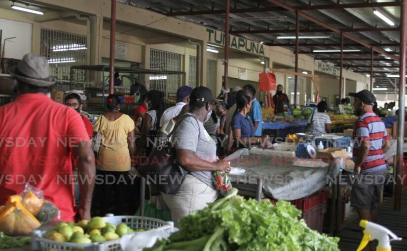
Chambers, cops advise small businesses: Don’t pay extortionists
newsday.co.tt - 30/Aug 04:46
President of the Tunapuna Police Station Community Council and director of the Greater Tunapuna Chamber of Industry & Commerce Neil Boodoosingh says...

These American Voters Are Leaving the Country Because of U.S. Politics
the new york times - 06/Sep 23:16
Thousands of readers shared frustrations, fears and disappointments with American politics, and how they are able to live and work in another country.
Audit requirements for low-risk plantation forestry projects reduced
timberbiz.com.au - 08/Sep 23:23
The audit requirements for low-risk plantation forestry projects in the Australian Carbon Credit Unit (ACCU) Scheme have been reduced to one scheduled...
Softwoods group pleased with Forestry Action Plan commitment
timberbiz.com.au - 28/Aug 00:01
The Softwoods Working Group has welcomed the NSW Government’s announcement of the Forest Industry Action Plan and the commitment to the community,...
Evolution Of Live Reporting And Interviewing Techniques In Contemporary Audiovisual Journalism: Assessing Challenges In Breaking News Situations – Analysis
eurasiareview.com - 09/Sep 23:00
A Changing Landscape The emergence of mobile technology, social media, and high-speed internet has democratized live reporting, allowing...
Les derniers communiqués
-
Aucun élément